ReddRadar

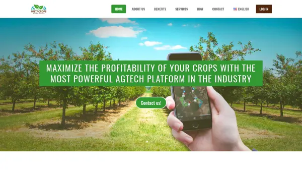
What is Instacrops?
Instacrops functions as a virtual agricultural advisor, leveraging Artificial Intelligence (AI) and Internet of Things (IoT) devices to transform raw field data into actionable recommendations. The platform monitors critical parameters such as climate, soil moisture, irrigation system performance, and overall plant health in real-time. This continuous monitoring allows for the early detection of potential issues related to water stress, nutrient deficiencies, pests, and diseases.
By integrating data from proprietary sensors, satellite imagery (including NDVI, NDWI, SAVI, and gNDVI indices), and predictive models, Instacrops delivers concrete insights directly to farmers via its application. This enables timely decision-making, leading to optimized use of resources like water and fertilizers, minimized crop risks (including frost damage), and ultimately, maximized harvest yield and profitability for various types of crops.
Features
- Virtual Advisory & Big Data Analysis: AI and Deep Learning models provide insights, supported by expert agronomists.
- Plug & Play IoT Hardware: Easy-to-install sensors for field data collection with remote management.
- Remote Monitoring: Real-time tracking of climate, soil moisture, irrigation systems, and plant parameters.
- Frost Prediction Model: Predictive alerts to help farmers prepare for potential frost damage.
- SkyCrops Satellite Imagery Analysis: Utilizes NDVI, NDWI, SAVI, and gNDVI indices for assessing crop health, biomass, and soil moisture.
- Issue Detection: Identifies potential problems related to water, irrigation, nutrients, pests, and diseases.
Use Cases
- Optimizing irrigation schedules based on real-time soil and climate data.
- Monitoring soil nutrient levels for precise fertilization strategies.
- Detecting early signs of pest infestations and diseases for timely intervention.
- Predicting frost events to enable preventative measures.
- Assessing crop health, vigor, and variability across fields using satellite data.
- Improving overall farm management efficiency through data-driven decisions.
- Maximizing crop yield potential and farm profitability.
- Reducing water and fertilizer consumption through precise application.
Related Queries
Helpful for people in the following professions

Featured Tools
Join Our Newsletter
Stay updated with the latest AI tools, news, and offers by subscribing to our weekly newsletter.