 ReddRadar
Top AI tools for geospatial data
-
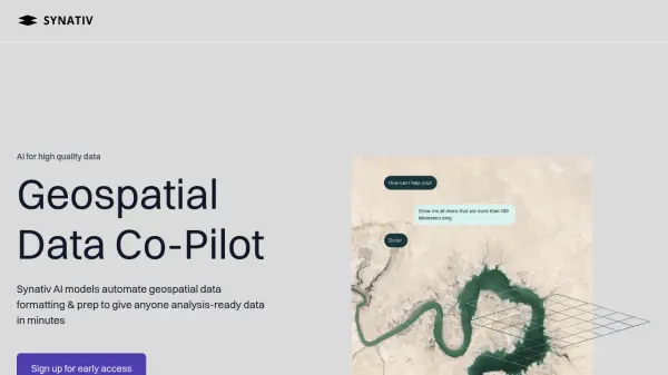 Synativ Geospatial Data Co-Pilot
Synativ utilizes AI to automate geospatial data formatting and preparation, delivering analysis-ready data in minutes. It significantly reduces manual labor and human error in geospatial data processing.
- Contact for Pricing
-
 Sherlock AI Unlock AI Powered Consumer Insights
Sherlock AI is an AI-powered SaaS platform that provides businesses with consumer insights, location intelligence, and marketing tools. It helps companies make data-driven decisions to optimize growth and profitability.
- Contact for Pricing
-
 Blackshark.ai Real-time Semantic 3D Digital Twin of the Planet
Blackshark.ai generates a real-time, accurate, semantic, and photorealistic 3D digital twin of the entire planet using machine learning and satellite imagery. This technology supports various applications, including simulation, visualization, and geospatial analytics.
- Contact for Pricing
-
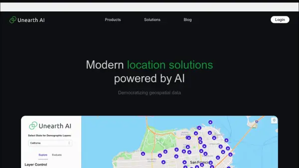 Unearth AI Modern location solutions powered by AI
Unearth AI offers AI-powered geospatial data analysis tools. Products include Unearth Lite, a ChatGPT-powered location explorer, and Unearth Insights for enterprise geospatial analytics.
- Contact for Pricing
-
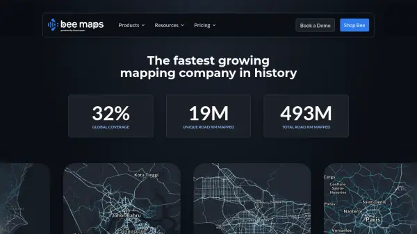 Bee Maps Simplify Fleet Management with AI-Powered Mapping Insights
Bee Maps offers AI-powered fleet management solutions and hyper-fresh mapping data APIs for optimized routing, cost savings, and real-time monitoring.
- Contact for Pricing
-
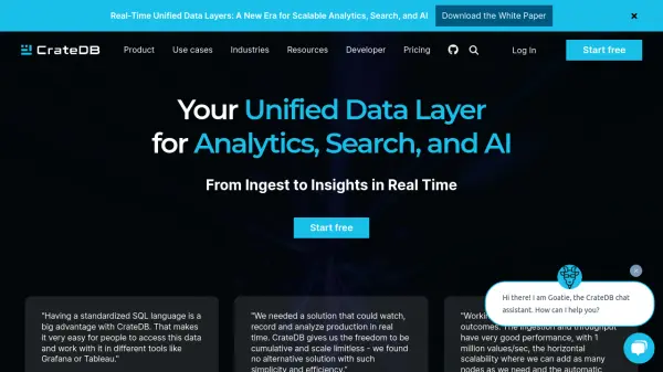 CrateDB Your Unified Data Layer for Analytics, Search, and AI
CrateDB is a unified data layer designed for real-time analytics, search, and AI applications. It enables users to ingest, query, and analyze diverse data types, including time-series, JSON, vectors, and relational data, at scale.
- Freemium
- From 173$
-
 PiinPoint Location Intelligence and Predictive Analytics for Retail Expansion
PiinPoint provides advanced location intelligence solutions using predictive analytics and geospatial data to help businesses make informed network expansion and site selection decisions.
- Usage Based
-
 mapify.ai No-code platform to process real-time geospatial data and generate real-time insights
Mapify is a no-code platform that enables users to process real-time geospatial data, define business rules, and create interactive maps and applications for IoT and location-based solutions without coding.
- Free Trial
Featured Tools
Join Our Newsletter
Stay updated with the latest AI tools, news, and offers by subscribing to our weekly newsletter.
Didn't find tool you were looking for?