 ReddRadar
Top AI tools for GIS Specialist
-
 Enviro Data The Leading Open Source Environmental Data Management Software
Enviro Data is an open-source environmental database management system that stores and displays environmental quality data for water, soil, air, and more, with tools for data import, reporting, and GIS integration.
- Other
-
 EOfactory Actionable geo-intelligence to ensure sustainability
EOfactory provides actionable geo-intelligence solutions using AI and ML for various industries, focusing on sustainability and science-based decisions. Access satellite imagery, process data, and visualize insights through custom dashboards.
- Free Trial
-
 Every Door The best OpenStreetMap editor for POIs and entrances.
Every Door is an open-source OpenStreetMap editor designed for mapping points of interest, entrances, and micro-mapping features with offline capabilities and AI-assisted data validation.
- Free
-
 ACTCAD Enterprise-Grade Fast & Affordable CAD Software for 2D Drafting and 3D Modeling
ACTCAD delivers advanced CAD solutions for 2D drafting and 3D modeling with perpetual licensing, providing professionals with high performance, file compatibility, and industry-specific features at an affordable price.
- Pay Once
-
 Schimera Freelance software development for rapid prototyping and MVP solutions across multiple platforms
Schimera provides freelance software development services specializing in rapid prototyping and Minimum Viable Product (MVP) development for mobile, web, desktop, and embedded systems.
- Contact for Pricing
-
 Flai AI-powered point cloud classification platform for LiDAR data processing
Flai is an advanced platform that transforms unstructured LiDAR datasets into actionable insights through AI-powered point cloud classification, offering both cloud-based and self-hosted solutions for efficient data processing.
- Freemium
- From 20$
-
 Open Design Alliance Platform (ODA Platform) Interoperability Solutions for CAD and BIM Engineering Data
The ODA Platform provides comprehensive SDKs and tools enabling seamless interoperability and advanced functionality for CAD, BIM, and engineering data workflows.
- Paid
- From 188$
-
 Pelias Geocoder A modular, open-source search engine for our world
Pelias is an open-source geocoder that transforms addresses and place names into geographic coordinates and vice versa, powered by open data and built on Elasticsearch for fast global search.
- Freemium
-
 Takeout Tools Export Real Location Data from Your Google Maps Saved Places
Takeout Tools transforms Google Takeout exports by automatically extracting addresses and coordinates from Google Maps URLs, converting them into usable formats like CSV, JSON, GPX, KML, and GeoJSON for mapping tools, GIS applications, and spreadsheets.
- Freemium
- From 190$
-
 Stadia Maps Reliable Location APIs for Modern Applications
Stadia Maps delivers robust and privacy-focused location APIs, offering customizable maps, geocoding, routing, and satellite imagery for businesses and developers seeking scalable, cost-effective mapping solutions.
- Freemium
- From 20$
-
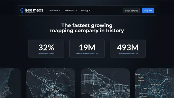 Bee Maps Simplify Fleet Management with AI-Powered Mapping Insights
Bee Maps offers AI-powered fleet management solutions and hyper-fresh mapping data APIs for optimized routing, cost savings, and real-time monitoring.
- Contact for Pricing
-
 Conveyor Desktop app distribution, simplified
Conveyor is an AI-powered tool that simplifies desktop app distribution by building self-updating packages for multiple operating systems with platform-native formats, signing, and notarization.
- Contact for Pricing
-
 Vintri Technologies Establish a Verified Single Source of Truth across your supply chain
Vintri Technologies provides an AI-powered data management solution for energy operators, focusing on data integrity, preservation, and material traceability to create accessible, traceable, and trustworthy supply chain records.
- Contact for Pricing
-
 Deep Block Computer Vision for Ultra-High Resolution Imagery
Deep Block is an AI-powered platform designed for rapid analysis of large-scale, high-resolution imagery from sources like satellites, drones, and microscopes.
- Freemium
-
 Vector2Raster Tiles Convert Vector Tiles to Raster Tiles Effortlessly
Vector2Raster Tiles automates the conversion of PBF vector tiles to raster formats, facilitating integration with mapping applications that require raster tile support.
- Paid
- From 5$
Featured Tools
Join Our Newsletter
Stay updated with the latest AI tools, news, and offers by subscribing to our weekly newsletter.
Explore More Professions
Didn't find tool you were looking for?