 ReddRadar
Top AI tools for Geographer
-
 Downlink Real-time satellite imagery on your desktop
Downlink is a desktop application that automatically updates your background with fresh satellite images of Earth every 20 minutes or hour, offering various views including custom zoom options.
- Other
-
 Pelias Geocoder A modular, open-source search engine for our world
Pelias is an open-source geocoder that transforms addresses and place names into geographic coordinates and vice versa, powered by open data and built on Elasticsearch for fast global search.
- Freemium
-
 NextGIS All-in-one GIS platform for maps and geodata
NextGIS provides comprehensive GIS solutions with web, mobile, desktop, and server tools for creating, managing, and sharing spatial data and interactive maps.
- Contact for Pricing
-
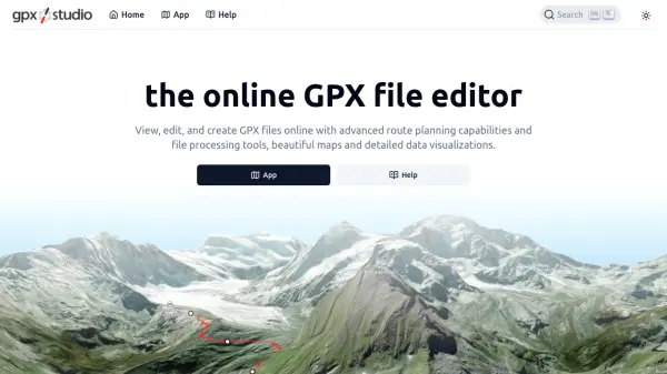 gpx.studio Advanced Online GPX File Editor and Route Planner
gpx.studio is an open-source, web-based tool for viewing, editing, and creating GPX files with advanced route planning, file processing, and data visualization, all on beautiful interactive maps.
- Free
-
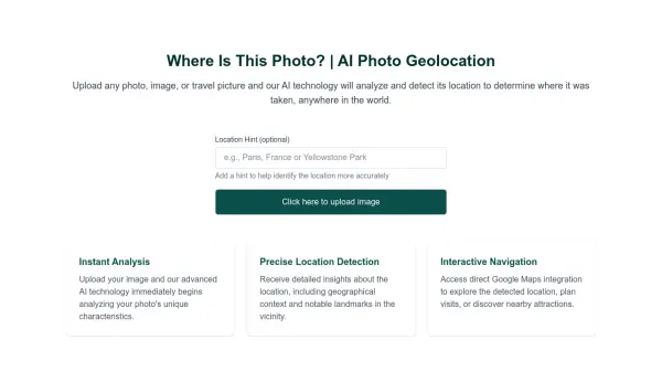 Where Is This Photo? AI Photo Geolocation
Where Is This Photo? uses AI to analyze uploaded photos and determine the geographical location where they were taken.
- Free
-
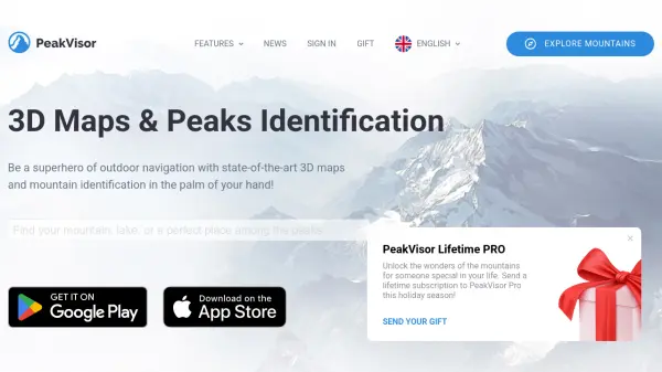 PeakVisor 3D Maps & Real-Time Peak Identification for Mountain Explorers
PeakVisor is an advanced outdoor navigation app offering 3D maps, real-time mountain identification, and offline capabilities, designed for hikers, climbers, and outdoor enthusiasts worldwide.
- Freemium
-
 My Elevation Accurate elevation and location data for Android users worldwide
My Elevation is an Android application that provides precise surface elevation data using web-based sources, helping users explore terrain with features like Follow Me mode, search functionality, and customizable map options.
- Free
-
 Exploring Data Interactive Data Visualizations with Open Data and Open Source Tools
Exploring Data is a platform showcasing interactive data visualizations created using open data and open source tools, featuring various network graphs, 3D globes, and geographic maps.
- Free
-
 Guess Country Interactive geography game that challenges your knowledge of world countries through proximity-based guessing
Guess Country is an educational geography game where players identify mystery countries using distance-based hints on an interactive world map, combining learning with engaging gameplay.
- Free
Featured Tools
Join Our Newsletter
Stay updated with the latest AI tools, news, and offers by subscribing to our weekly newsletter.
Explore More Professions
Didn't find tool you were looking for?